
September 21, 2026 · NASA Earth Observatory · 4 min read
Faster Detection of Forest Loss
NASA scientists developed a new method for tracking tropical forest loss that delivers deforestation alerts more than three months faster than current methods.
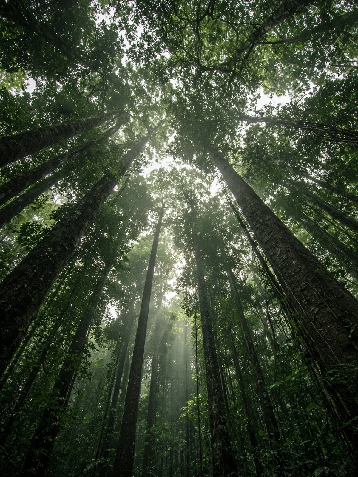
Tropical forests span 1.6 billion hectares (6.2 million square miles) of Earth. These ecosystems support a majority of the planet's animal and plant species and contain plants that contribute to over a quarter of modern medicine. But over the past two decades, an average of 10 million hectares (nearly 40,000 square miles) of these forests—roughly the size of Kentucky—have been lost each year, according to the United Nations Environment Programme, affecting the ecosystems and communities that depend on them.
NASA scientists recently developed a new method for tracking tropical forest loss that delivers deforestation alerts more than three months faster than current methods. Although the technique was designed for the Amazon rainforest, data from a recently launched satellite are expected to expand its application globally.
Limits of Traditional Satellite Observations
Because tropical forests are so vast, local communities, conservationists, and policymakers rely on satellite data to manage them. Images acquired by satellites with optical sensors provide highly accurate alerts. Images from NASA-USGS Landsat satellites have revolutionized land management for over 50 years. In 1988, Brazil developed one of its first satellite-based monitoring systems using Landsat data, which remains in use today.
Though Landsat is an invaluable tool for Earth observation, it has a critical limitation: clouds. As an optical satellite, it relies on reflected light and cannot observe the ground through cloud cover. This creates data gaps that are especially limiting in tropical regions, which are cloudy most of the year. In some areas, months can pass without acquiring a cloud-free image, hindering efforts to track and curb unregulated forest clearing.
A Breakthrough Using Radar
To address Landsat's cloud challenge, researchers at NASA's Marshall Space Flight Center tuned into a different wavelength. Led by Africa Flores-Anderson, associate program manager for NASA's Ecosystem Conservation Program, the team piloted a system for the Amazon that combines existing satellite-based approaches with cutting-edge radar data. The approach builds upon a platform developed by the Cardille Lab at McGill University.
Synthetic aperture radar (SAR) doesn't require daylight or clear skies. To generate an image, SAR instruments beam radar signals at a surface and measure the signals that bounce back. SAR satellites use various ranges of radar wavelengths, or "bands," to measure features on Earth's surface. Over forests, the shorter wavelengths of the C-band scatter off treetops, but the longer wavelengths of the L-band can make it down to the ground.
This L-band is central to Flores-Anderson's approach. Similar efforts favored C-band because it was more readily available than other SAR data. But when felled trees—along with their branches and leaves—are not removed right away, C-band's shorter wavelengths are scattered by remaining debris, obscuring evidence of destruction. In contrast, L-band's longer wavelengths can penetrate this material and reveal the damage. The new method is the first of its kind to automatically combine the user-friendly, intuitive images from Landsat and the consistent, detailed insights from L-band SAR data.
To increase accuracy, the algorithm confirms deforestation only if there are multiple, consecutive observations of forest loss.
Faster Detection and a Global Future
On average, the new method for monitoring forests spots felled trees within 16 days with exceptional accuracy, nearly eliminating false alarms. These detections can identify deforestation in very cloudy regions up to 100 days sooner than optical-only systems.
"In the tropics, it's important to detect deforestation as soon as it occurs. If an image of a cleared forest isn't available until the following year, the area may already be regrown, and deforestation will be missing from our data," Flores-Anderson said.
For experts like Sylvia Wilson, the chief forest and climate scientist at Wilpa Capacity Development with nearly 20 years of global forest monitoring experience with the U.S. Geological Survey, adding L-band SAR to optical is a scientific game changer. "L-band SAR gives us the opportunity to see what optical doesn't. But it's not one sensor versus the other; the future is SAR plus optical," Wilson said.
The NISAR (NASA-ISRO Synthetic Aperture Radar) satellite, launched in July 2025, will drastically increase the feasibility of systems like Flores-Anderson's by providing more frequent and comprehensive L-band SAR data. L-band data has been relatively scarce, with limited images only available in a few areas like the Brazilian Amazon. Once more NISAR data become publicly available, they will provide free, global L-band SAR every 12 days. Flores-Anderson's system is already prepared to incorporate this data.
"It doesn't matter which sensor we get data from—whether it's optical or SAR—it automatically adds to our model. As more NISAR data become available, we will have more accurate, faster detection of change," Flores-Anderson explained.
What this means for a Legal Reserve
The method described above gains time by combining radar and optical imagery — precisely because clouds are the main obstacle to seeing tropical forest from space.
Neutraza follows the same combination. The main analysis comes from Sentinel-2 (optical), and when a scene is covered by clouds Sentinel-1 (radar) fills in, because radar sees through clouds. Both images are stored with the date and time of the pass and appear side by side in each reserve's satellite viewer.
Early detection matters to whoever looks after the forest: clearing noticed within weeks can still be stopped; noticed a year later, it has already become pasture.
Source: Faster Detection of Forest Loss. Public domain text and image from a U.S. government agency.